Description
France's Naval Hydrographic and Oceanographic Service charts cover waters for many areas of the world, providing commercial and recreational mariners with important navigational information.
Specifications
- Paper Length: 49"
- Paper Width: 36"
- Edition Number: 4
- Edition Date: 11/24/2017
- Scale: 1:300,000
- Content Width: 31.997"
- Content Length: 45.737"
Rebates
There are currently no rebates available for this item
You may also like
-
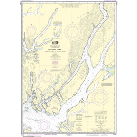
NOAA Nautical Chart - 17427 Portland Canal - Dixon Entrance to Hattie I.
-

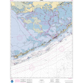
NOAA Nautical Chart - 11426 Estero Bay to Lemon Bay including Charlotte Harbor;Continuation of Peace River
-

BA-3518 Ports and Anchorages on the North-East Coast of Oman
-
NOAA Nautical Chart - 11452OG Intracoastal Waterway Alligator Reef to Sombrero Key
-

Alan Paine Long Sleeve Button Down Classic Fit Shirt - Mens / Harbor Check Shirt