
Description
ADMIRALTY Standard Nautical Charts (SNCs) are the world's most trusted and widely used official paper charts. The range includes comprehensive paper coverage of commercial shipping routes, ports and harbours to help bridge crews safely navigate in accordance with SOLAS regulations.
- ___Over 3,500 ADMIRALTY charts with coverage appropriate for navigation of deep sea, coastal passages, port approaches and harbour berthing.
- A range of scales to provide appropriate levels of detail and increase situational awareness, including: Large-scale charts for main ports and harbours, medium scale charts for coastal navigation and small-scale charts for offshore navigation.
Specifications
Rebates
There are currently no rebates available for this item
You may also like
-
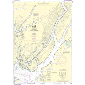
NOAA Nautical Chart - 17427 Portland Canal - Dixon Entrance to Hattie I.
-

NOAA Nautical Chart - 11426 Estero Bay to Lemon Bay including Charlotte Harbor;Continuation of Peace River
-
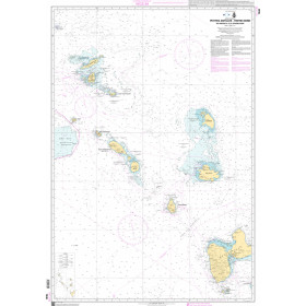
SHOM Nautical Chart 7630 - Petites Antilles - Partie Nord - De Anguilla à la Guadeloupe
-
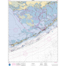
NOAA Nautical Chart - 11452OG Intracoastal Waterway Alligator Reef to Sombrero Key
-

Alan Paine Long Sleeve Button Down Classic Fit Shirt - Mens / Harbor Check Shirt