Description
Commercial and recreational boaters alike know that nothing replaces the peace of mind that comes from having a reliable paper chart onboard. These charts are printed on high-quality paper and feature improved detailing and color contrast.
The chart you are viewing is NOT updated weekly and does NOT include all of the latest Notice to Mariners corrections.
- Chart Length: 51"
- Paper Width: 36"
- Scale: 80000
- Content Width: 32.833"
- Content Length: 47.49"
Specifications
Nautical Chart Selector - Select a region from the map below to view other charts

Rebates
There are currently no rebates available for this item
Related Products
Related Accessories


You may also like
-
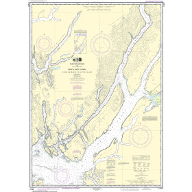
NOAA Nautical Chart - 17427 Portland Canal - Dixon Entrance to Hattie I.
-

BA-3518 Ports and Anchorages on the North-East Coast of Oman
-
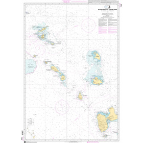
SHOM Nautical Chart 7630 - Petites Antilles - Partie Nord - De Anguilla à la Guadeloupe
-
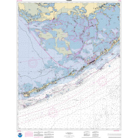
NOAA Nautical Chart - 11452OG Intracoastal Waterway Alligator Reef to Sombrero Key
-

Alan Paine Long Sleeve Button Down Classic Fit Shirt - Mens / Harbor Check Shirt