Description
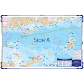
Commercial and recreational boaters alike know that nothing replaces the peace of mind that comes from having a reliable paper chart onboard. These charts are printed on high-quality paper and feature improved detailing and color contrast.
The chart you are viewing is NOT updated weekly and does NOT include all of the latest Notice to Mariners corrections.
- Chart Length: 50"
- Paper Width: 36"
- Scale: 663392
- Content Width: 46.578"
- Content Length: 35.423"
Specifications
Nautical Chart Selector - Select a region from the map below to view other charts

Rebates
There are currently no rebates available for this item
You may also like
-

NOAA Nautical Chart - 17433 Kendrick Bay to SHipwreck Point Prince of Wales Island
-

NOAA Nautical Chart - 17370 Bay of Pillars and Rowan Bay Chatham Strait;Washington Bay Chatham Strait
-

Historical Nautical Chart - 9000_1-1949 San Diego To Bering Sea and Hawaiian Arch.
Regular Price: $45.00
Special Price $39.95
-
Waterproof Charts - Narragansett Bay to Block Island Sound Fishing
-
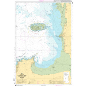
SHOM Nautical Chart 7156 - De la Pointe du Grouin à la Pointe dAgon - Baie du Mont-Saint-Michel - Îles