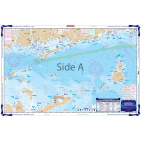
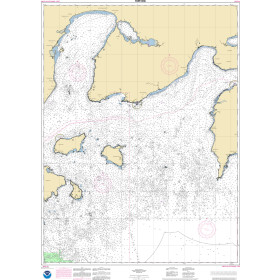
Description
France's Naval Hydrographic and Oceanographic Service charts cover waters for many areas of the world, providing commercial and recreational mariners with important navigational information.
Specifications
- Paper Length: 49"
- Paper Width: 36"
- Edition Number: 3
- Edition Date: 04/06/2018
- Scale: 1:48,800
- Content Width: 31.597"
- Content Length: 45.82"
Rebates
There are currently no rebates available for this item
You may also like
-

Historical Nautical Chart - 9000_1-1949 San Diego To Bering Sea and Hawaiian Arch.
Regular Price: $45.00
Special Price $39.95
-
Waterproof Charts - Narragansett Bay to Block Island Sound Fishing
-
NOAA Nautical Chart - 16551OG Unga Island to Pavlof Bay Alaska Pen.
-

NOAA Nautical Chart - 19016 Ni'ihau to French Frigate Shoals;Necker Island;Nihoa
-

NOAA Nautical Chart - 18685 Monterey Bay;Monterey Harbor;Moss Landing Harbor;Santa Cruz Small Craft Harbor