Description
Size: 50" x 36"
Scale: 15,000
Edition Date: 05/10/2002
Edition Number: 1
LNM Cleared Date: 12/31/1969
Specifications
Nautical Chart Selector - Select a region from the map below to view other charts

Rebates
There are currently no rebates available for this item
You may also like
-

NOAA Nautical Chart - 19353 Harbors of Moloka'i Kaunakakai Harbor;Pukoo Harbor;Kamalo Harbor;Kolo Harbor;Lono Harbor
-

NOAA Nautical Chart - 11365 Barataria and Bayou Lafourche Waterways Intracoastal Waterway to Gulf of Mexico
-
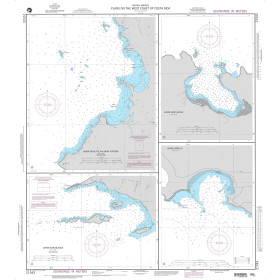
NGA Nautical Chart - 21543 Plans on the West Coast of Costa Rica A. Bahia Brasilito and Bahia Potrero
-

NGA Nautical Chart - 109 Gulf of Maine to Strait of Belle Isle including Gulf of St. Lawrence
-

CHS Nautical Chart - CHS6429 Kilometre/Kilometre 1580 - 1645 including/y compris East Channel Inuvik to/a Kilometre/Kilometre 1645