Description
Commercial and recreational boaters alike know that nothing replaces the peace of mind that comes from having a reliable paper chart onboard. These charts are printed on high-quality paper and feature improved detailing and color contrast.
The chart you are viewing is NOT updated weekly and does NOT include all of the latest Notice to Mariners corrections.
- Chart Length: 33"
- Paper Width: 36"
- Scale: 13000
- Content Width: 34.073"
- Content Length: 29.983"
Specifications
Nautical Chart Selector - Select a region from the map below to view other charts

Rebates
There are currently no rebates available for this item


You may also like
-

NOAA Nautical Chart - 11365 Barataria and Bayou Lafourche Waterways Intracoastal Waterway to Gulf of Mexico
-
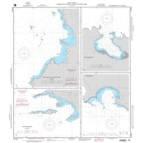
NGA Nautical Chart - 21543 Plans on the West Coast of Costa Rica A. Bahia Brasilito and Bahia Potrero
-

NGA Nautical Chart - 109 Gulf of Maine to Strait of Belle Isle including Gulf of St. Lawrence
-

CHS Nautical Chart - CHS6429 Kilometre/Kilometre 1580 - 1645 including/y compris East Channel Inuvik to/a Kilometre/Kilometre 1645
-
NOAA Nautical Chart - 11303OG Intracoastal Waterway Laguna Madre - Chubby Island to Stover Point including The Arroyo Colorado