
Description
ADMIRALTY Standard Nautical Charts (SNCs) are the world's most trusted and widely used official paper charts. The range includes comprehensive paper coverage of commercial shipping routes, ports and harbours to help bridge crews safely navigate in accordance with SOLAS regulations.
- ___Over 3,500 ADMIRALTY charts with coverage appropriate for navigation of deep sea, coastal passages, port approaches and harbour berthing.
- A range of scales to provide appropriate levels of detail and increase situational awareness, including: Large-scale charts for main ports and harbours, medium scale charts for coastal navigation and small-scale charts for offshore navigation.
Specifications
Nautical Chart Selector - Select a region from the map below to view other charts

Rebates
There are currently no rebates available for this item
You may also like
-

NOAA Nautical Chart - 12210 Chincoteague Inlet to Great Machipongo Inlet;Chincoteague Inlet
-
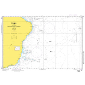
NGA Nautical Chart - 202 East Coast of South America (OMEGA)
-
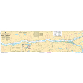
CHS Nautical Chart - CHS6410 Fort Simpson to/a Trail River Kilometre 330 / Kilometre 390
-

BA-2214 Black Sea including Marmara Denizi and Sea of Azov
-

BA-551 Ports and Approaches on the East Coast of Brazil