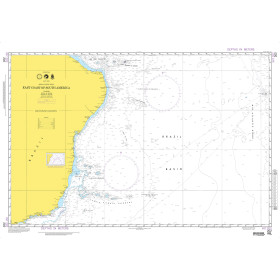
Description
Size: 61" x 36"
Scale: 50,000
Edition Date: 09/11/2009
Edition Number: 4
LNM Cleared Date: 02/14/2014
Specifications
Nautical Chart Selector - Select a region from the map below to view other charts
Rebates
There are currently no rebates available for this item
You may also like
-
NOAA Nautical Chart - 18774 Gulf of Santa Catalina;Delmar Boat Basin-Camp Pendleton
-
NOAA Nautical Chart - 16580 Kodiak Island;Southwest Anchorage Chirikof Island
-
NOAA Nautical Chart - 14824 Sixteenmile Creek to Conneaut;Conneaut Harbor
-
NOAA Nautical Chart - 12211 Fenwick Island to Chincoteague Inlet;Ocean City Inlet
-
NOAA Nautical Chart - 11404 Intracoastal Waterway Carrabelle to Apalachicola Bay;Carrabelle River
