Description
France's Naval Hydrographic and Oceanographic Service charts cover waters for many areas of the world, providing commercial and recreational mariners with important navigational information.
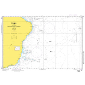
Specifications
- Paper Length: 48"
- Paper Width: 36"
- Edition Number: 2
- Edition Date: 09/29/2009
- Scale: 1:150,000
- Content Width: 44.21"
- Content Length: 32.117"
Rebates
There are currently no rebates available for this item
You may also like
-

BA-4403 South East Coast of North America including the Bahama Islands and Greater Antilles
-

NOAA Nautical Chart - 19351 Channels between Oahu Moloka'i and Lana'i;Kaumalapa'u Harbor
-

NOAA Nautical Chart - 17302 Icy Strait and Cross Sound;Inian Cove;Elfin Cove
-

NOAA Nautical Chart - 12210 Chincoteague Inlet to Great Machipongo Inlet;Chincoteague Inlet
-
NGA Nautical Chart - 202 East Coast of South America (OMEGA)