Description
Commercial and recreational boaters alike know that nothing replaces the peace of mind that comes from having a reliable paper chart onboard. These charts are printed on high-quality paper and feature improved detailing and color contrast.
The chart you are viewing is NOT updated weekly and does NOT include all of the latest Notice to Mariners corrections.
- Chart Length: 46"
- Paper Width: 36"
- Scale: 40000
- Content Width: 34.808"
- Content Length: 42.893"
Specifications
Nautical Chart Selector - Select a region from the map below to view other charts

Rebates
There are currently no rebates available for this item


You may also like
-

NOAA Nautical Chart - 14966OG Little Girls Point to Silver Bay including Duluth and Apostle Islands, Cornucopia Harbor, Port Wing Harbor, Knife River Harbor, Two Harbors
-

NOAA Nautical Chart - 16599OG Bays and Anchorages Kodiak Island Karluk Anchorage, Larsen Bay, Uyak Anchorage
-
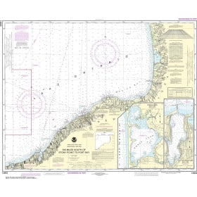
NOAA Nautical Chart - 14803 Six Miles south of Stony Point to Port Bay;North Pond;Little Sodus Bay
-

NOAA Nautical Chart - 11534 Intracoastal Waterway Myrtle Grove Sound and Cape Fear River to Casino Creek
-

NOAA Nautical Chart - 11355 Intracoastal Waterway Catahoula Bay to Wax Lake Outlet including the Houma Navigation canal