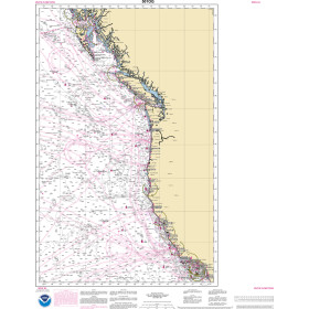
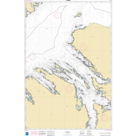
Description
Commercial and recreational boaters alike know that nothing replaces the peace of mind that comes from having a reliable paper chart onboard. These charts are printed on high-quality paper and feature improved detailing and color contrast.
The chart you are viewing is NOT updated weekly and does NOT include all of the latest Notice to Mariners corrections.
- Chart Length: 62"
- Paper Width: 42"
- Scale: 40000
- Content Width: 58.798"
- Content Length: 40.728"
Specifications
Nautical Chart Selector - Select a region from the map below to view other charts

Rebates
There are currently no rebates available for this item
Related Products


You may also like
-

NOAA Nautical Chart - 11534 Intracoastal Waterway Myrtle Grove Sound and Cape Fear River to Casino Creek
-

CHS Nautical Chart - CHS4443 East River of Pictou: Indian Cross Point to / a Trenton and New Glasgow
-
NOAA Nautical Chart - 501OG North Pacific Ocean West Coast Of North America Mexican Border To Dixon Entrance
-
NOAA Nautical Chart - 17368OG Keku Strait-northern part including Saginaw and Security Bays and Port Camden, Kake Inset
-

NOAA Nautical Chart - 1117ANEOG Calcasieu Pass to Galveston and Freeport (Oil and Gas Leasing Areas)