Description
Commercial and recreational boaters alike know that nothing replaces the peace of mind that comes from having a reliable paper chart onboard. These charts are printed on high-quality paper and feature improved detailing and color contrast.
The chart you are viewing is NOT updated weekly and does NOT include all of the latest Notice to Mariners corrections.
- Chart Length: 50"
- Paper Width: 36"
- Scale: 40000
- Content Width: 34.05"
- Content Length: 46.693"
Specifications
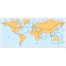
Nautical Chart Selector - Select a region from the map below to view other charts

Rebates
There are currently no rebates available for this item
Related Products
Related Accessories


You may also like
-

NOAA Nautical Chart - 11448 Intracoastal Waterway Big Spanish Channel to Johnston Key
-

NGA Nautical Chart - 26065 Cayos Chichime to Punta Rincon and Approach to Golfo de San Blas
-

NGA Nautical Chart - 21500 Punta Remedios to Cabo Matapalo (OMEGA) (Chart indexed on page 3)
-

CHS Nautical Chart - CHS3513 Strait of Georgia Northern Portion/Partie Nord
-
BA-1998 Nice to Livorno including Gulf of Genoa