Description
Scale: 1:75,000
Size: 42" x 51"
Edition Number: 5
Edition Date: 02/28/2015
Specifications
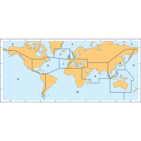
Nautical Chart Selector - Select a region from the map below to view other charts

Rebates
There are currently no rebates available for this item


You may also like
-

NOAA Nautical Chart - 11448 Intracoastal Waterway Big Spanish Channel to Johnston Key
-

CHS Nautical Chart - CHS3513 Strait of Georgia Northern Portion/Partie Nord
-
BA-1998 Nice to Livorno including Gulf of Genoa
-

BA-1501 Approaches to Dongjiakou Gangqu and Shijiu Gangqu
-

SHOM Nautical Chart 7426 - De la Pointe de la Coubre à la Pointe de la Négade - Embouchure de La Giron