Description
Commercial and recreational boaters alike know that nothing replaces the peace of mind that comes from having a reliable paper chart onboard. These charts are printed on high-quality paper and feature improved detailing and color contrast.
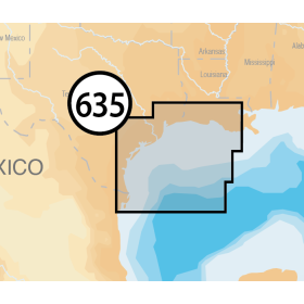
The chart you are viewing is NOT updated weekly and does NOT include all of the latest Notice to Mariners corrections.
- Chart Length: 49"
- Paper Width: 36"
- Scale: 20000
- Content Width: 45.413"
- Content Length: 34.563"
Specifications
Nautical Chart Selector - Select a region from the map below to view other charts

Rebates
There are currently no rebates available for this item
Related Products
Related Accessories


You may also like
-
Navionics Platinum+ XL 635P+ - West Gulf of Mexico
-

NOAA Nautical Chart - 18473 Puget Sound-Oak Bay to Shilshole Bay
-

NOAA Nautical Chart - 18458 Hood Canal-South Point to Quatsap Point including Dabob Bay
-

NOAA Nautical Chart - 11322 Intracoastal Waterway Galveston Bay to Cedar Lakes
-

NOAA Nautical Chart - 17376 Tebenkof Bay and Port Malmesbury