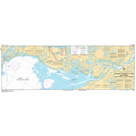
Description
Size: 46" x 36"
Scale: 300,000
Edition Date: 08/30/2002
Edition Number: 1
LNM Cleared Date: 05/06/2016
Specifications
Nautical Chart Selector - Select a region from the map below to view other charts

Rebates
There are currently no rebates available for this item
Related Products
Related Accessories


You may also like
-

NOAA Nautical Chart - 83484 U.S. Possessions in Samoa Islands Manua Islands; Pago Pago Harbor; Tutuila Island; Rose Atoll; Swains Island
-

NOAA Nautical Chart - 14864 Harrisville to Forty Mile Point;Harrisville Harbor;Alpena;Rogers City and Calcite
-

NOAA Nautical Chart - 13286 Cape Elizabeth to Portsmouth; Cape Porpoise Harbor; Wells Harbor; Kennebunk River; Perkins Cove
-

NGA Nautical Chart - 54115 Otok Drvenik Mali to Otok Susak and Porto dAscoli to Porto Corsini
-
CHS Nautical Chart - CHS6431 East Channel Lousy Point to/a Tuktoyaktuk Kilometre 1710 / Kilometre 1766