Description
Coverage available from no other source. Current information compiled from Charlotte County GIS, USGS topographic data and NOAAcharts. Detailed coverage of both city and county canal systems and the head of Charlotte Harbor and the Mayakka River up to the El Jobean Bridge with current channel entrances, waterway names and bridge and lock information. Defines sailboat (no bridges) and powerboat only waterways with different colors. Easy to read with great colors, suitable for framing.
Specifications
Rebates
There are currently no rebates available for this item


You may also like
-

NOAA Nautical Chart - 17406 Baker Noyes and LuluIslands and adjacent waters
-
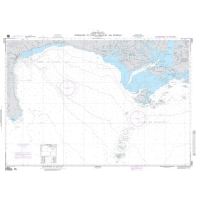
NGA Nautical Chart - 21584 Approaches to Puerto Armuelles and Pedregal
-

NGA Nautical Chart - 21581 Plans within Bahia de Charco Azul A. Puerto Armuelles
-

CHS Nautical Chart - CHS7832 Eglington Island to/a Cape Kellett
-

CHS Nautical Chart - CHS7486 Navy Channel to/a Fury and Hecla Strait