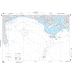
Description
France's Naval Hydrographic and Oceanographic Service charts cover waters for many areas of the world, providing commercial and recreational mariners with important navigational information.
Specifications
- Paper Length: 47"
- Paper Width: 36"
- Edition Number: 3
- Edition Date: 11/02/2016
- Scale: 1:10,000
- Content Width: 43.957"
- Content Length: 31.777"
Rebates
There are currently no rebates available for this item
You may also like
-

NOAA Nautical Chart - 17406 Baker Noyes and LuluIslands and adjacent waters
-

NGA Nautical Chart - 81012 Namorik Atoll to Nonouti (OMEGA)
-
NGA Nautical Chart - 21584 Approaches to Puerto Armuelles and Pedregal
-

NGA Nautical Chart - 21581 Plans within Bahia de Charco Azul A. Puerto Armuelles
-

Historical Nautical Chart - Gulf of Mexico 411-08-2013
Regular Price: $45.00
Special Price $39.95