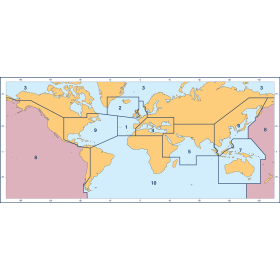
Description
France's Naval Hydrographic and Oceanographic Service charts cover waters for many areas of the world, providing commercial and recreational mariners with important navigational information.
Specifications
- Paper Length: 43"
- Paper Width: 36"
- Edition Number: 3
- Edition Date: 07/18/2017
- Scale: 1:3,500,000
- Content Width: 39.383"
- Content Length: 27.35"
Rebates
There are currently no rebates available for this item
You may also like
-

NGA Nautical Chart - 522 Pacific Ocean (Western Part)
-

NGA Nautical Chart - 51 Pacific Ocean
-
British Admiralty Region 8 Charts - Pacific Ocean New Zealand
-

NGA Nautical Chart - 506 Mariana Islands to Gilbert Islands
-

SHOM Nautical Chart 7355 - Hiva-Oa Tahuata et Mohotani - HivaOaTahuataMohotaniFatuHuku