Description
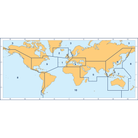
France's Naval Hydrographic and Oceanographic Service charts cover waters for many areas of the world, providing commercial and recreational mariners with important navigational information.
Specifications
- Paper Length: 42"
- Paper Width: 36"
- Edition Number: 5
- Edition Date: 03/01/1935
- Scale: 1:584,000
- Content Width: 38.087"
- Content Length: 26.517"
Rebates
There are currently no rebates available for this item