
Description
ADMIRALTY Standard Nautical Charts (SNCs) are the world's most trusted and widely used official paper charts. The range includes comprehensive paper coverage of commercial shipping routes, ports and harbours to help bridge crews safely navigate in accordance with SOLAS regulations.
- ___Over 3,500 ADMIRALTY charts with coverage appropriate for navigation of deep sea, coastal passages, port approaches and harbour berthing.
- A range of scales to provide appropriate levels of detail and increase situational awareness, including: Large-scale charts for main ports and harbours, medium scale charts for coastal navigation and small-scale charts for offshore navigation.
Specifications
Rebates
There are currently no rebates available for this item
You may also like
-

NOAA Nautical Chart - 11503 St. Marys Entrance Cumberland Sound and Kings Bay
-

NOAA Nautical Chart - 17325 South and West Coasts of Kruzof Island
-

NOAA Nautical Chart - 14967 Beaver Bay to Pigeon Point;Silver Bay Harbor;Taconite Harbor;Grand Marais Harbor
-
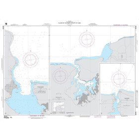
NGA Nautical Chart - 26250 Plans on the North Coast of Cuba A. Puerto Gibara
-

Historical Nautical Chart - 9000_1-1949 San Diego To Bering Sea and Hawaiian Arch.
Regular Price: $45.00
Special Price $39.95