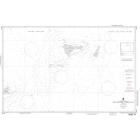
Description
Commercial and recreational boaters alike know that nothing replaces the peace of mind that comes from having a reliable paper chart onboard. These charts are printed on high-quality paper and feature improved detailing and color contrast.
The chart you are viewing is NOT updated weekly and does NOT include all of the latest Notice to Mariners corrections.
- Chart Length: 40"
- Paper Width: 36"
- Scale: 40000
- Content Width: 36.818"
- Content Length: 29.74"
Specifications
Nautical Chart Selector - Select a region from the map below to view other charts

Rebates
There are currently no rebates available for this item
You may also like
-

Navionics Platinum+ XL ROW - Strait of Dover
-

NGA Nautical Chart - 71033 Western Part of Java Sea and Southern Passages to China
-
NGA Nautical Chart - 29104 King George Island to Clarence Island
-

Historical Nautical Chart - 21-7-1907 Lake Ontario Roung Island
Regular Price: $45.00
Special Price $39.95
-

CHS Nautical Chart - CHS2258 Bayfield Sound and Approaches/et les approches