Description
Commercial and recreational boaters alike know that nothing replaces the peace of mind that comes from having a reliable paper chart onboard. These charts are printed on high-quality paper and feature improved detailing and color contrast.
The chart you are viewing is NOT updated weekly and does NOT include all of the latest Notice to Mariners corrections.
- Chart Length: 51"
- Paper Width: 36"
- Scale: 300000
- Content Width: 47.195"
- Content Length: 34.983"
Specifications
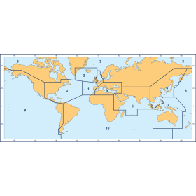
Nautical Chart Selector - Select a region from the map below to view other charts

Rebates
There are currently no rebates available for this item
You may also like
-

CHS Nautical Chart - CHS8011 Grand Bank / Grand Banc: Northern Portion / Partie Nord
-
BA-839 Southern Approaches to Sodertalje from Landsort to Bjorno
-

NOAA Nautical Chart - 81076 Commonwealth of the Northern Mariana Islands Saipan Harbor
-

NOAA Nautical Chart - 19351 Channels between Oahu Moloka'i and Lana'i;Kaumalapa'u Harbor
-

NOAA Nautical Chart - 19329 Mahukona Harbor and approaches Island Of Hawaii