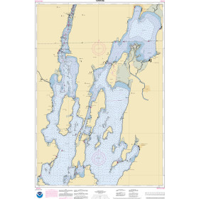
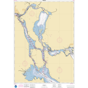
Description
Commercial and recreational boaters alike know that nothing replaces the peace of mind that comes from having a reliable paper chart onboard. These charts are printed on high-quality paper and feature improved detailing and color contrast.
The chart you are viewing is NOT updated weekly and does NOT include all of the latest Notice to Mariners corrections.
- Chart Length: 42"
- Paper Width: 36"
- Scale: 80000
- Content Width: 38.763"
- Content Length: 28.633"
Specifications
Nautical Chart Selector - Select a region from the map below to view other charts

Rebates
There are currently no rebates available for this item
You may also like
-

CHS Nautical Chart - CHS5390 Wakeham Bay and Fisher Bay et les Approches/and Approaches
-
NOAA Nautical Chart - 14781OG Riviere Richelieu to South Hero Island
-
NOAA Nautical Chart - 14883OG St. Marys River - Munuscong Lake to Sault Ste. Marie
-

NOAA Nautical Chart - 19341OG Hana Bay Island of Maui
-

NOAA Nautical Chart - 81076 Commonwealth of the Northern Mariana Islands Saipan Harbor