Description
Commercial and recreational boaters alike know that nothing replaces the peace of mind that comes from having a reliable paper chart onboard. These charts are printed on high-quality paper and feature improved detailing and color contrast.
The chart you are viewing is NOT updated weekly and does NOT include all of the latest Notice to Mariners corrections.
- Chart Length: 50"
- Paper Width: 36"
- Scale: 10000
- Content Width: 25.943"
- Content Length: 46.325"
Specifications
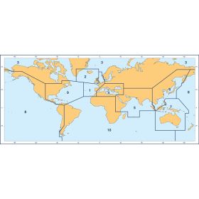
Nautical Chart Selector - Select a region from the map below to view other charts

Rebates
There are currently no rebates available for this item
Related Products
Related Accessories


You may also like
-

Ronstan Wire Block Tube Rivet Top Nylatron Sheave
-

NGA Nautical Chart - 83500 Fiji and Tonga Islands (OMEGA)
-

Historical Nautical Chart - 6449-6-1948 Seattle Harbor and Lake Washington
Regular Price: $45.00
Special Price $39.95
-

CHS Nautical Chart - CHS6433 West Channel Aklavik to/a Shallow Bay
-
BA-4921 Queen Charlotte Sound to/a Dixon Entrance