Description
Commercial and recreational boaters alike know that nothing replaces the peace of mind that comes from having a reliable paper chart onboard. These charts are printed on high-quality paper and feature improved detailing and color contrast.
The chart you are viewing is NOT updated weekly and does NOT include all of the latest Notice to Mariners corrections.
- Chart Length: 41"
- Paper Width: 36"
- Scale: 15000
- Content Width: 37.31"
- Content Length: 34.42"
Specifications
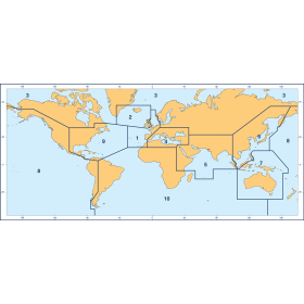
Nautical Chart Selector - Select a region from the map below to view other charts

Rebates
There are currently no rebates available for this item


You may also like
-

NGA Nautical Chart - 73020 Halmahera to Gulf of Carpentaria
-

CHS Nautical Chart - CHS4616 Burin Harbours and Approches / et les approches
-
BA-1422 Esbjerg to Hanstholm including Offshore Oil and Gas Fields
-

SHOM Nautical Chart 6280 - Partie Nord de Raiatea - Port dUturoa
-

SHOM Nautical Chart 6687 - Abords de Nouméa - Passes de Boulari et de Dumbéa