
Description
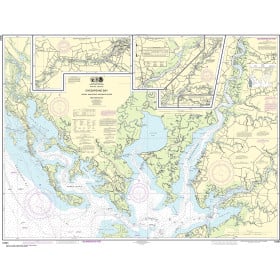
Commercial and recreational boaters alike know that nothing replaces the peace of mind that comes from having a reliable paper chart onboard. These charts are printed on high-quality paper and feature improved detailing and color contrast.
The chart you are viewing is NOT updated weekly and does NOT include all of the latest Notice to Mariners corrections.
- Chart Length: 54"
- Paper Width: 36"
- Scale: 40000
- Content Width: 50.968"
- Content Length: 27.95"
Specifications
Nautical Chart Selector - Select a region from the map below to view other charts

Rebates
There are currently no rebates available for this item


You may also like
-

Cruiser's Handbook of Fishing
-

C-MAP MAX Wide - Gulf Of Mexico - Great Lakes & Rivers
-

BA-1315 Five Fathom Hole The Narrows and Saint George's Harbour
-

NOAA Nautical Chart - 12266 Chesapeake Bay Choptank River and Herring Bay; Cambridge
-
NOAA Nautical Chart - 12261 Chesapeake Bay Honga Nanticoke Wicomico Rivers and Fishing Bay