Description
Norwegian Hydrographic Service charts provide commercial and recreational mariners with navigational information for the Norwegian coast, including polar waters. OceanGrafix charts serve as a valuable complement to electronic systems - and critical back up when the unexpected happens.
Specifications
- Edition Number: 3
- Edition Date: 03/17/2025
- Last Check Date: 12/29/2025
- Last Update Date: 03/17/2025
- Chart Length: 47"
- Chart Width: 36"
Rebates
There are currently no rebates available for this item
You may also like
-

NOAA Nautical Chart - 17437 Portland Inlet to Nakat Bay
-

NOAA Nautical Chart - 12231 Chesapeake Bay Tangier Sound Northern Part
-

NOAA Nautical Chart - 12222 Chesapeake Bay Cape Charles to Norfolk Harbor
-
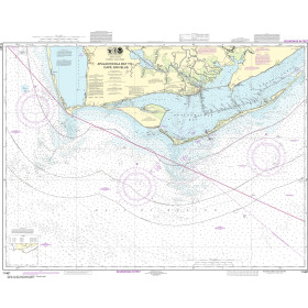
NOAA Nautical Chart - 11401 Apalachicola Bay to Cape San Blas
-

NHS Nautical Chart - NHS002 Torbjornskjaer - Fulehuk - Rakkebaene
Regular Price: $32.50
Special Price $24.75