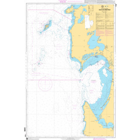
Description
Norwegian Hydrographic Service charts provide commercial and recreational mariners with navigational information for the Norwegian coast, including polar waters. OceanGrafix charts serve as a valuable complement to electronic systems - and critical back up when the unexpected happens.
Specifications
- Edition Number: 1
- Edition Date: 06/23/2015
- Last Check Date: 11/04/2021
- Last Update Date: 10/18/2021
- Chart Length: 40"
- Chart Width: 36"
Rebates
There are currently no rebates available for this item