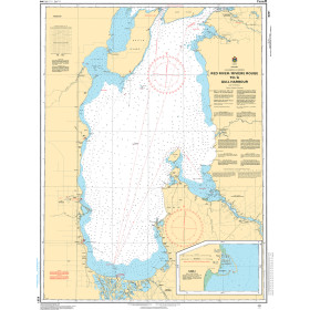
Description
Norwegian Hydrographic Service charts provide commercial and recreational mariners with navigational information for the Norwegian coast, including polar waters. OceanGrafix charts serve as a valuable complement to electronic systems - and critical back up when the unexpected happens.
Specifications
- Edition Number: 2
- Edition Date: 05/23/2016
- Last Check Date: 12/29/2025
- Last Update Date: 10/28/2025
- Chart Length: 43"
- Chart Width: 36"
Rebates
There are currently no rebates available for this item
You may also like
-

Mustang Industrial Mesh Vest PFD
-

Harken 27 mm Low-Beam Endstop - Set of 2
-

NGA Nautical Chart - 28125 Isla de Guanaja (Caribbean Sea-Honduras)
-

Bathymetric Nautical Chart - BR-2PT1_2_3 Caribbean Regional 12 and 3
Regular Price: $32.50
Special Price $24.75
-
CHS Nautical Chart - CHS6251 Red River / Riviere Rouge to/a Gull Harbour