Description
Scale: 1:1,600,000
Size: 36" x 43"
Edition Number: 8
Edition Date: 11/30/1996
Specifications
Nautical Chart Selector - Select a region from the map below to view other charts

Rebates
There are currently no rebates available for this item
You may also like
-

NOAA Nautical Chart - 13211 North Shore of Long Island Sound Niantic Bay and Vicinity
-

NGA Nautical Chart - 81023 Nomoi Islands to Faraulep Atoll (Caroline Islands) (OMEGA)
-
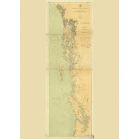
Historical Nautical Chart - 3089-00-1901a NW Coast of America - Olympia WA
Regular Price: $45.00
Special Price $39.95
-
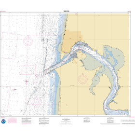
NOAA Nautical Chart - 18581OG Yaquina Bay and River, Continuation of Yaquina River
-

NOAA Nautical Chart - 19361OG Port Wa'ianae Island of Oahu