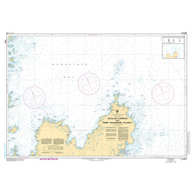
Description
Scale: 1:25,000
Size: 36" x 19"
Edition Number: 1
Edition Date: 10/12/1996
Specifications
Nautical Chart Selector - Select a region from the map below to view other charts

Rebates
There are currently no rebates available for this item


You may also like
-

ADMIRALTY LIST OF RADIO SIGNAL
-

NOAA Nautical Chart - 11478 Port Canaveral;Canaveral Barge Canal Extension
-
CHS Nautical Chart - CHS4854 Catalina Harbour to / a Inner Gooseberry Islands
-

CHS Nautical Chart - CHS4405 Pictou Island to / aux Tryon Shoals
-

NOAA Nautical Chart - 11013OG Straits of Florida and Approaches