
Description
ADMIRALTY Standard Nautical Charts (SNCs) are the world's most trusted and widely used official paper charts. The range includes comprehensive paper coverage of commercial shipping routes, ports and harbours to help bridge crews safely navigate in accordance with SOLAS regulations.
- ___Over 3,500 ADMIRALTY charts with coverage appropriate for navigation of deep sea, coastal passages, port approaches and harbour berthing.
- A range of scales to provide appropriate levels of detail and increase situational awareness, including: Large-scale charts for main ports and harbours, medium scale charts for coastal navigation and small-scale charts for offshore navigation.
Specifications
Rebates
There are currently no rebates available for this item
You may also like
-
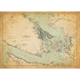
Historical Nautical Chart - cp3678c Georgia Strait and Strait of Juan Defuca
Regular Price: $45.00
Special Price $39.95
-

CHS Nautical Chart - CHS3853 Cape St. James to/a Cumshewa Inlet and/et Tasu Sound
-
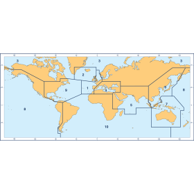
BA-558 Isla Leones to Estrecho de Magallanes including the Falkland Islands
-
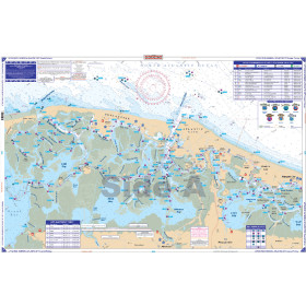
Waterproof Charts - Little Egg Harbor to Atlantic City Fishing
-

NOAA Nautical Chart - 12343OG Hudson River New York to Wappinger Creek