
Description
28P+ UK & IRELAND UK, Ireland, Channel Islands, Northern France, Belgium, Holland to the Ijsselmeer. Head out with confidence! All the same marine and lakes content and advanced features found in Navionics+ for GPS plotters are augmented with 3D View, satellite overlay and panoramic photos to provide the ultimate situational awareness. Designed with the most demanding boaters in mind, these additional viewing options can be used on a growing number of GPS plotters.
Specifications
If you know you require a Navionics Cartridge but are not sure which one you need, give us a call at 1-800-941-2219. Landfall Navigation® will help you select the correct one.
The following chartplotters use Navionics Nav-Chart, Microchart, CF (Compact Flash), SD (Secure Digital), MSD (Micro Secure Digital) or MMC (MultiMedia) cartridge types.
Rebates
There are currently no rebates available for this item
You may also like
-
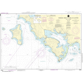
NOAA Nautical Chart - 25655 Ensenada Honda to Canal de Luis Pena
-

CHS Nautical Chart - CHS7951 Bathurst Island to/a Borden Island
-

CHS Nautical Chart - CHS4593 Sunday Cove Island to / a Thimble Tickles
-

CHS Nautical Chart - CHS3892 Masset Harbour and/et Naden Harbour
-

SHOM Nautical Chart 4240 - De la Skhirra à Gabès - (Golfe de Gabès)