Description
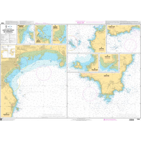
Navionics Fishing Maps feature boating and fishing destinations laid out in a waterproof, tearproof and greaseproof paper map, complete with High-Definition surveys, bottom contours, structure, drop-offs, vegetation, boat ramps, marinas and more. Note: This is a fishing map, not intended for use as a navigation chart. Navionics is not responsible for omissions, location changes or inaccuracies of bouys, hazards or markers.
Specifications
Rebates
There are currently no rebates available for this item