
Description
Unique "flip-fold" format - The "Flip-fold" design is like an accordion - it folds down to a small size that is easy to store and carry, and it opens up to show popular cruising areas.
GPS Ready - Maptech Waterproof Charts easy to use with your GPS. Most charts include one-minute lat./long. grids to make vessel positioning a breeze, and major navigation aids are identified with named GPS waypoints.
Waterproof and Tear-Resistant - Waterproof Charts are printed on high-quality, waterproof, tear-resistant paper. Chart images are crisp and easy-to-read. They can handle just about any conditions you'll find on the water.
Pre-plotted Courses - Maptech's navigation editors add magnetic courses between major navigation aids with distances in nautical miles. Waterproof Charts are also designed to help you do the calculations yourself. Each page includes a Compass Rose with annual increase in variation and complete scale information.
Specifications
Rebates
There are currently no rebates available for this item
Related Products


You may also like
-

Spinlock TC50/4 50mm 4 Sheave Deck Organizer
-

BA-1353 Tanjung Jambuair to One Fathom
-
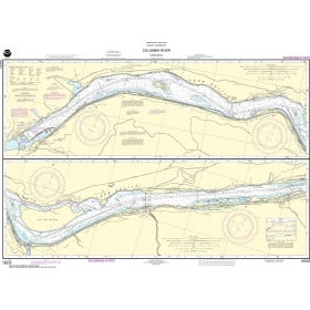
NOAA Nautical Chart - 18533 Columbia River Lake Celilo
-

NHS Nautical Chart - NHS064 Stott - Saltfjorden
Regular Price: $32.50
Special Price $24.75
-

NHS Nautical Chart - NHS044 Lauvoya - Halten - Roan
Regular Price: $32.50
Special Price $24.75