Description
On this 2017 edition the latest available depth surveys have been applied. The chart specification has been improved to show coloured light flashes. There has been general updating throughout.
Specifications
- Plans included:
- Newquay Bay (1:10 000)
- Saint Ives (1:15 000)
- St Mary’s Road (1:25 000)
- Hugh Town (1:10 000)
- Mousehole (1:5000)
- Newlyn Harbour (1:12 000)
- Penzance (1:12 000)
- Saint Michael’s Mount (1:12 500)
- Porthleven (1:5000)
- Mullion Cove (1:7500)
Rebates
There are currently no rebates available for this item
You may also like
-

Cruiser's Handbook of Fishing
-

C-MAP MAX Wide - Gulf Of Mexico - Great Lakes & Rivers
-

BA-1315 Five Fathom Hole The Narrows and Saint George's Harbour
-

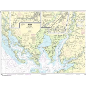
NOAA Nautical Chart - 12266 Chesapeake Bay Choptank River and Herring Bay; Cambridge
-
NOAA Nautical Chart - 12261 Chesapeake Bay Honga Nanticoke Wicomico Rivers and Fishing Bay