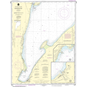
Description
On this edition the latest depth surveys have been applied where available. Harbour and marina development at Port Minimes and La Pallice are included as is the latest information on nature and marine reserves. The La Gironde to Bordeaux plan has improved detail and increased usability. The chart specification has been improved to show coloured light flashes. There has been general updating throughout.
Specifications
- Plans included:
- Bourgenay (1:10 000)
- Approach to Jard-sur-Mer (1:17 500)
- Approach to Ars-en-Ré (1:40 000)
- Approach to St Martin-de-Ré (1:15 000)
- Approach to La Flotte-en-Ré (1:15 000)
- Rade de la Pallice (1:40 000)
- La Rochelle and Port des Minimes (1:15 000)
- St-Denis-d’Oléron (1:10 000)
- Douhet (1:7500)
- Boyardville (1:10 000)
- Rochefort (1:10 000)
- Royan (1:7500)
- Port Médoc (1:12 500)
- La Gironde & La Garonne (1:200 000)
- Continuation to Bordeaux (1:200 000)
Rebates
There are currently no rebates available for this item