Description
Size: 40" x 36"
Scale: 750,000
Edition Number: 1
Edition Date: 01/09/2016
LNM Cleared Date: 01/09/2016
Specifications
Nautical Chart Selector - Select a region from the map below to view other charts

Rebates
There are currently no rebates available for this item


You may also like
-

NGA Nautical Chart - 121 North Atlantic Ocean (Northern Sheet)
-
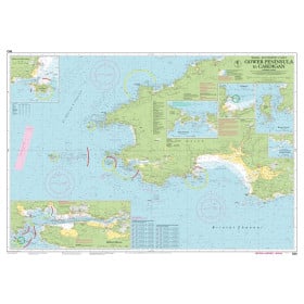
Imray Nautical Chart - Imray-C60 Gower Peninsula to Cardigan
-
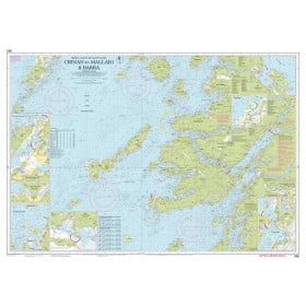
Imray Nautical Chart - Imray-C65 Crinan to Mallaig and Barra
-
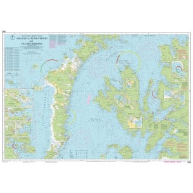
Imray Nautical Chart - Imray-C66 Mallaig to Rubha Reidh and Outer Hebrides
-

Imray Nautical Chart - Imray-C67 North Minch and Isle of Lewis