Description
SC,1929 - Today's Office of Coast Survey traces its charting efforts back to 1807, when President Thomas Jefferson founded the Survey of the Coast. To celebrate and preserve this long history, NOAA started assembling the collection in 1995 as a data rescue effort. NOAA continues to preserve charts and maps produced by NOAA's Coast Survey and its predecessors, especially the U.S. Coast and Geodetic Survey and the U.S. Lake Survey (previously under the Department of War). The collection also covers many areas that most people may not realize were once a part of early Coast Survey history. As the first federal scientific agency, the U.S. Coast and Geodetic Survey (as the agency was known from 1878 to 1970) produced land sketches, Civil War battle maps, and aeronautical charting.
Specifications
- Chart Length: 24"
- Chart Width: 18"
Rebates
There are currently no rebates available for this item
You may also like
-

Harken Bottom Flange Assembly for Mk IV/Crusing Unit 1
-

BA-959 Colson Point to Belize City including Lighthouse Reef and Turneffe Islands
-

NOAA Nautical Chart - 14969 Munising Harbor and Approaches;Munising Harbor
-

Bathymetric Nautical Chart - NN_4-1 Stepovak Bay
Regular Price: $32.50
Special Price $24.75
-
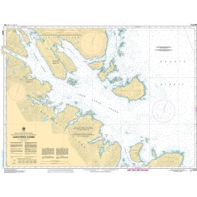
CHS Nautical Chart - CHS3808 Juan Perez Sound