Description
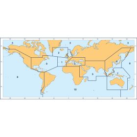
Bay of Fundy - 010-C0690-00 - Garmin's marine cartography includes detailed nautical charts derived from government charts and private sources. They will enable you to see your vessel’s precise position, on-chart, in relation to navaids, spot soundings, coastal features, anchorages, port plans, waterways, obstructions, restricted areas and more, in a seamless chart presentation. Coverage is available worldwide, in regional offerings, for Garmin handhelds and chartplotters.
Specifications
Garmin BlueChart Coverage (.PDF)