You have no items in your shopping cart.

You have no items in your shopping cart.

FREE Shipping on $100+ Orders Details
Need Help?
Call us at 1-800-941-2219

CHS Nautical Chart RIVIERE RICHELIEU BASSIN DE C

1351 Bassin de Chambly to Lake Champlain

Availability: In stock

1351

CHS Nautical Chart RIVIERE RICHELIEU BASSIN DE C

PRICE 

$28.00


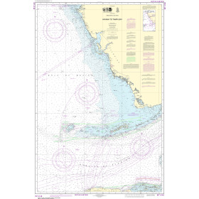
At 152,100 miles, Canada has the longest coastline in the world! OceanGrafix and Landfall Navigation have joined forces to provide you with the most up-to-date nautical charts. Canadian charts come directly from the Canadian Hydrographic Service. The standard charts are water-resistant with a tough coating for longer life. Bright colors make them easier to read under varying light conditions.
Small Craft Water Resistant paper is our Standard format. Measuring from 36-40" to 40-44".
Canadian Hydrographic Service (CHS) Chart Catalogs
CHS Region 1 Atlantic Coast (.pdf)
CHS Region 2 Pacific Coast (.pdf)
CHS Region 3 Ontario / Manitoba (.pdf)
CHS Region 4 Arctic (.pdf)

* Required Fields

$28.00

Description

Specifications

Customer Reviews

Write your own review

There are currently no reviews for this product. Click the link above to write a review.

Write A Review

Only registered users can write reviews. Please, log in or register

Rebates

There are currently no rebates available for this item

Need Help?
Call us at 1-800-941-2219