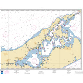
Description
Size: 51" x 36"
Scale: 50,000
Edition Date: 10/07/2011
Edition Number: 4
LNM Cleared Date: 12/31/1969
Specifications
Nautical Chart Selector - Select a region from the map below to view other charts

Rebates
There are currently no rebates available for this item
You may also like
-

NOAA Nautical Chart - 14864 Harrisville to Forty Mile Point;Harrisville Harbor;Alpena;Rogers City and Calcite
-

NOAA Nautical Chart - 13286 Cape Elizabeth to Portsmouth; Cape Porpoise Harbor; Wells Harbor; Kennebunk River; Perkins Cove
-

NGA Nautical Chart - 54115 Otok Drvenik Mali to Otok Susak and Porto dAscoli to Porto Corsini
-
NOAA Nautical Chart - 12358OG New York Long Island Shelter Island Sound and Peconic Bays, Mattituck Inlet
-

NOAA Nautical Chart - 25663OG Pasaje de San Juan to Puerto de Humacao and Western Part of lsla de Vieques