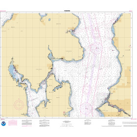
Description
ADMIRALTY Standard Nautical Charts (SNCs) are the world's most trusted and widely used official paper charts. The range includes comprehensive paper coverage of commercial shipping routes, ports and harbours to help bridge crews safely navigate in accordance with SOLAS regulations.
- ___Over 3,500 ADMIRALTY charts with coverage appropriate for navigation of deep sea, coastal passages, port approaches and harbour berthing.
- A range of scales to provide appropriate levels of detail and increase situational awareness, including: Large-scale charts for main ports and harbours, medium scale charts for coastal navigation and small-scale charts for offshore navigation.
Specifications
Rebates
There are currently no rebates available for this item
You may also like
-

BA-1683 Plans on the South and East Coasts of Peloponnisos
-

SHOM Nautical Chart 7398 - Rade de Brest (partie Ouest) - Baie de Roscanvel - Anse du Fret
-

NOAA Nautical Chart - 16608OG Shelikof Strait-Cape Douglas to Cape Nukshak
-
NOAA Nautical Chart - 18446OG Puget Sound-Apple Cove Point to Keyport, Agate Passage
-

NOAA Nautical Chart - 81076 Commonwealth of the Northern Mariana Islands Saipan Harbor